About project
AgroEye project was created as part of a competition launched by the European Space Agency (ESA): „2nd CALL FOR OUTLINE PROPOSALS UNDER THE POLISH INDUSTRY INCENTIVE SCHEME”.

Assumptions
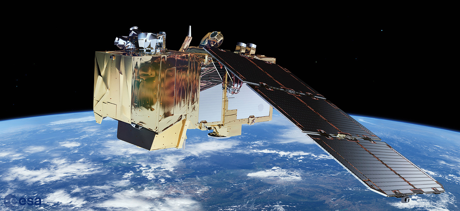
AgroEye project will be entirely on the principles of open source. The aplication will be targeted to using Sentinel-2 data. End-user training is scheduled after the completion of the development work.

Goal
The main goals of the project are: support the monitoring agricultural lands in terms of Good Agricultural and Environmental Conditions (GAEC), easy to use spatial analysis system for agriculture.
About the project
The political transformation, that took place in Poland over 25 years ago, as well as Poland’s accession to European Union entailed a large number of changes, including agriculture. The most important of them were liquidation of national owned farms, free market development and increase manufactures competitiveness. These political changes caused also deep socio-economic transformations and landscape changes as well.
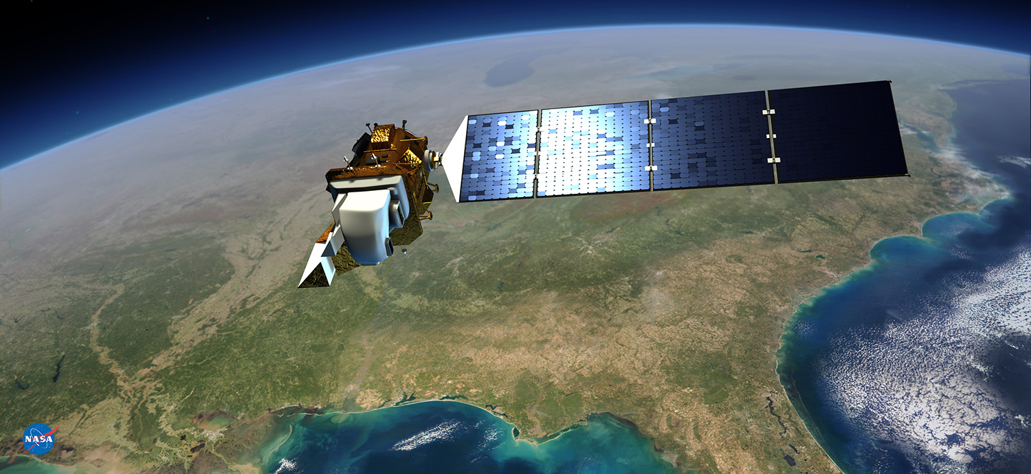
The remote sensing applications in agriculture sector began with sensors for soil organic matter, and have quickly diversified to include satellite (e.g. Landsat), airborne (e.g. digital hyperspectral cameras), UAV (e.g. with multispectrals camera) and hand held or tractor mounted sensors. At present there is considerable interest in collecting remote sensing data as multitemporal series in order to conduct near real time: soil, crop and pest management.
An example institution dealing with this topic is the Monitoring Agricultural Resources (MARS) Unit of European Commission’s Joint Research Centre, which focuses on crop production, agricultural activities and rural development.
Our aim is to transfer these good practices to Polish agricultural area management. The first step to achieve the aim is development of an IT application called AgroEye. The AgroEye concept is an advanced Open Source application exclusively designed for monitoring agricultural lands in terms of GAEC. AgroEye will provide an easy to use spatial analysis system for agriculture, which can be used to support decision making and preparing spatio-temportal analysis. Any organizations interested in using application for purpose of monitoring and managing the environment, will get access to source code and the compiled application as well.
The AgroEye application will provide a fast, accurate and simple way to check the dynamic of agricultural changes to help control rules for direct payments. Many of the GAEC rules require field-checking at least a couple of times within a year, together with spatio-temporal analysis. With remote sensing approach, it will be possible with reasonable financial expenditure.

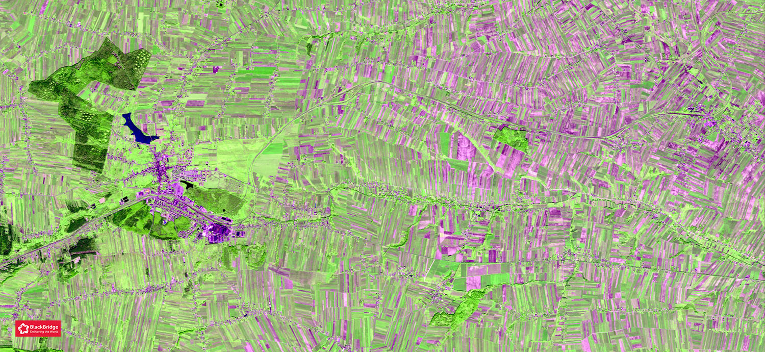
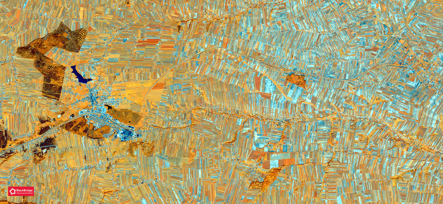
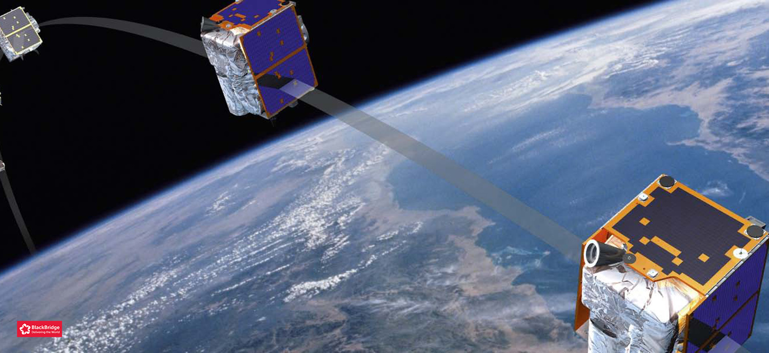
The application is targeted to using Sentinel-2 data but because Sentinel-2 will only be launched in June 2015, at the moment of project submission we decided to use BlackBridge RapidEye for application development. RapidEye data are characterized by high spatial (5 metres) and time (1 day) resolutions and the spectral bands of RapidEye have also relatively similar characteristics to selected bands of Sentinel-2.
We decided to choose 5 test sites (AOI) representing different agricultural landscapes in Poland to make our application as robust as possible. It is important because of high variability of rural areas.
Mapping large areas covered with different land cover classes is possible through the means of various methods for classification of remote sensing imagery. These methods differ in many aspects, making some of them more suitable for processing large amounts of image data. The AgroEye application will be based on the Object Based Image Analysis (OBIA) approach.
The final application is aimed to be an easy-to-use tool for the end user. The idea behind AgroEye is that a person without thorough knowledge of IT or remote sensing should be able to use satellite data to significantly improve their work.
After assigning input satellite images, the operator will receive an answer whether a certain GAEC rule is fulfilled or not. The proposed application will enable non-technical professionals to perform quick and accurate checks if certain farmland meet the requirements of financial support under GAEC.
The design of the AgroEye application will allow its adaptation in the future to meet requirements of other institutions like: Polish State Forest National Forest Holding, General Directorate for Environmental Protection, Regional Directorates for Environmental Protection, National Parks or organisations responsible for Natura 2000 areas management.
